Pantmawr Road: The Road to Rhiwbina
By Nigel Lewis
I don’t know about you, but I’m endlessly fascinated by our local history, looking at old maps, discovering who were the local families and characters of yesteryear, and how different life was back then.
At Whitchurch Library, AWEN have a Reminiscence Group, meeting every month, for folk who simply enjoy learning and sharing the history of the old parish.
A mysterious cardboard box recently turned up at the library from the Heritage Library in Cathays for AWEN to look at. It was a battered box containing ‘stuff’ collected over the years, probably the contents of forgotten shelves in an old cupboard in the storage rooms somewhere.
It contained bits of local maps, old photographs, books, directories, old ledgers, and more recent press cuttings of local stories. It would take months, probably years to catalogue, but a real curiosity and simply fascinating to explore. We recently spent an enjoyable Reminiscence session spreading lots of the information from the box onto six tables pushed together with over 25 folk, just ‘digging in’!
From the box, the local directories are a particular treasure, dating from the earliest in 1866 until 1937. They list all of the people living in the parish, the householders, the gentry and clergy, the farmers and their families, shops and traders, industry; and in the later directories, the names of the local streets and who lived there.
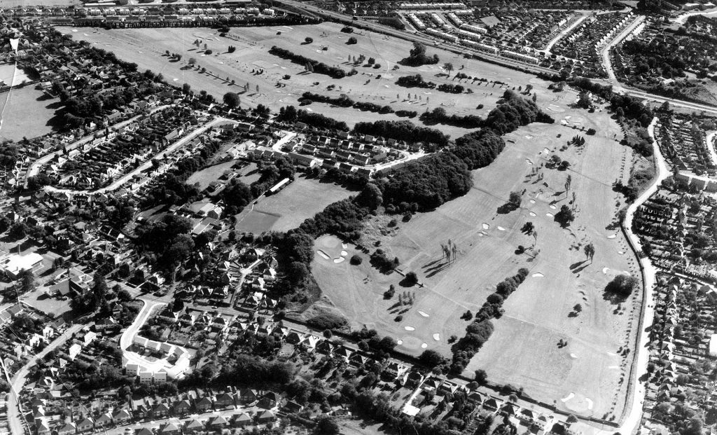
It’s hard enough to imagine the area before the busy roads we have today, the railway lines and bridges which define the area, and the hundreds and hundreds of houses and bungalows everywhere.
Road names have always been important, to understand where we live and to negotiate what routes we can use to pop to the shops, or to get to the other side of the area. In today’s Rhiwbina, we have Heol-y-Deri, Beulah Road, Ty’n-y-Parc Road, Pantbach and Pantmawr Roads, plus dozens of others, the smaller side roads and cul-de-sacs.

Pantmawr Road is a case in point, running from the old Hollybush pub on the turnpike road, eastwards to Rhiwbina, crossing the A470 to end at the mini-roundabout at the bottom of Wenallt Hill. It must have been an ancient route, with a proper Welsh name and probably a long (and forgotten) history.
Imagine my surprise then to discover that the name ‘Pantmawr Road’ was only used from the 1920 directory. Earlier directories c1900 have a different name. It was once called ‘Rhubina Road’, and not only that, it was much longer. Starting at the Hollybush, it crossed between Whitchurch and Nant-Walla/Rhyd-Waedlyd, past Deri Farm and all the way up the hill to Rhiwbina Farm.
We know that Rhiwbina Farm is probably over a thousand years old, but the old drovers’ routes from the north to the Hollybush and on towards Llandaff must be even older; I wonder how old the name of Rhubina Road might be?
All of the local farms (now mostly forgotten) had easy access to this road, and in addition to the pub, Rhubina Road had an old forge, gentry houses, and the first non-conformist chapel in the parish. The route was a natural magnet for the few houses and cottages along its way.
Rhubina Road was probably no more than a winding track with verges, stone boundary walls and hedgerows enclosing many of the adjacent fields. It probably had passing places for the occasional farm carts, and most likely, in the dips where the track became muddy and almost impassible in the winter months.
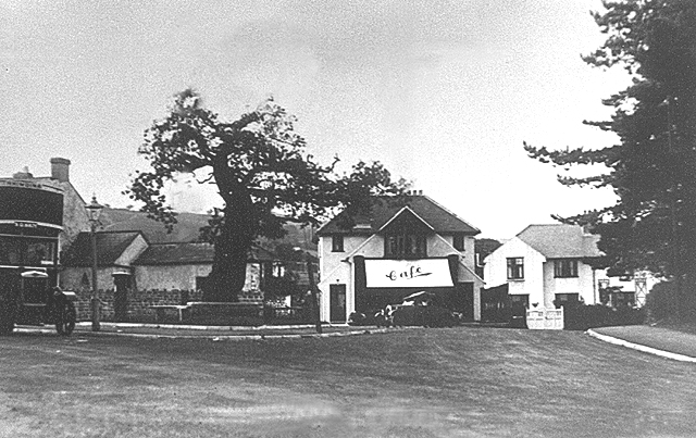
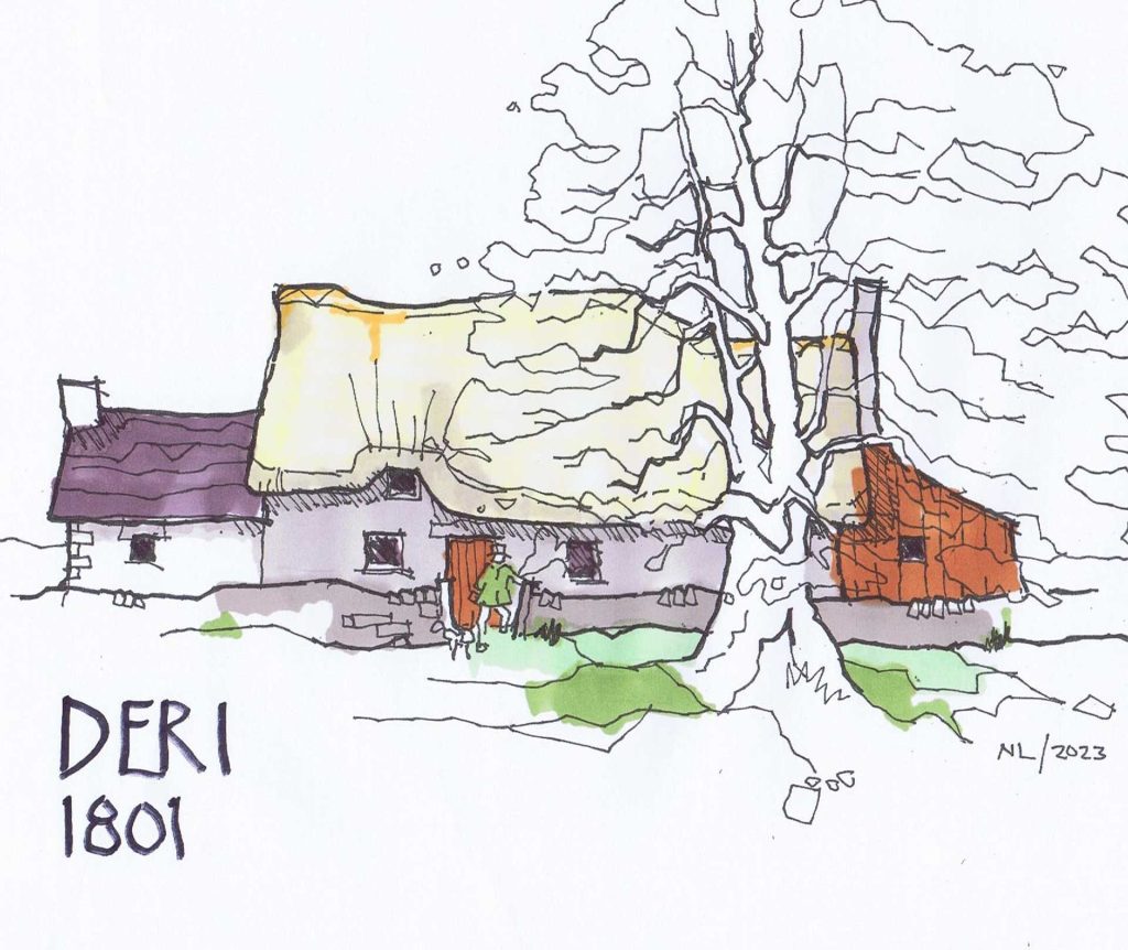
What did these farm buildings and cottages look like hundreds of years ago? Most likely with stone-built walls and either thatched or stone-tiled roofs, and with tiny windows. The sketch below shows how Deri Farm might have looked like in the years before the Tithe Map. The famous blasted oak on the bend of the road could itself be over 500 years old!

And of course, just to the south of the Deri was a mill, a scattering of isolated cottages and a meandering stream, and an even narrower track south, then called Deri Road.
And of course, just to the south of the Deri was a mill, a scattering of isolated cottages and a meandering stream, and an even narrower track south, then called Deri Road.
So why did Rhubina Road change its name? By the time of the 1920 directory, the railway had arrived and the centre of the village had moved to Beulah Corner. The main routes were now to the south via the improved Pantbach Road, and Ty’n-y-Parc and Ty Wern Roads. So perhaps the importance of Rhubina Road had diminished.
Pantmawr was an important farm along the way and maybe became a waymarker instead. Perhaps the old name was simply forgotten.
Does anyone know?
Nigel Lewis is a member of AWEN@thelibrary (awen.cymru@gmail.com)

